
The Most Isolated Inhabited Place on Earth
Imagine living on a sheer volcanic rock where your closest neighbors reside over 1,500 miles away across a cold, unrelenting ocean.
Anúncios
Geographical distance does more than draw borders on a map—it dictates how people think, trade, build trust, and maintain a functioning society. Out here, modern supply chains and immediate conveniences simply evaporate into the horizon.
The South Atlantic archipelago of Tristan da Cunha represents the absolute threshold of human separation from global infrastructure.
Siting roughly halfway between the shores of South Africa and South America, this tiny volcanic territory challenges our standard ideas about connectivity and social resilience.
To study life in such an environment is to understand how human ingenuity adapts when help is never on the way.
Article Summary
- Geographic Identity: Pinpointing the most isolated inhabited place on Earth using coordinates, oceanic currents, and isolation parameters.
- Life in The Settlement: Exploring the daily reality, communal land distribution, and social dynamics inside Edinburgh of the Seven Seas.
- Economic Survival: Analyzing the rock lobster trade, agricultural self-reliance, and local ecological stewardship.
- Journeying into the Void: Documenting the rigorous maritime logistics, sea conditions, and strict arrival permissions.
- Frequently Asked Questions: Answering queries regarding emergency medical care, internet connectivity, and residency laws.
What Is the Most Isolated Inhabited Place on Earth?
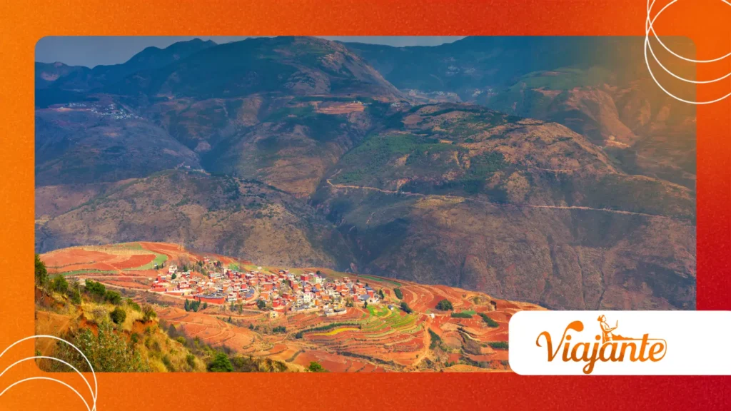
Tristan da Cunha holds the world record as the most isolated inhabited place on Earth.
Anchored in the middle of the South Atlantic Ocean, this remote British Overseas Territory lies roughly 1,750 miles from Cape Town and 1,510 miles from its nearest inhabited neighbor, Saint Helena.
                                  NORTH
                                    ▲
                                    │
    SOUTH AMERICA                   │                  AFRICA
  [Montevideo, Uruguay]             │          [Cape Town, South Africa]
  (~2,200 miles west)               │           (~1,750 miles east)
            │                       │                    │
            └───────────┐           │           ┌────────┘
                        ▼           │           ▼
                 ┌─────────────────────────────────────┐
                 │          TRISTAN DA CUNHA           │
                 │   37°06' S latitude, 12°16' W long   │
                 └─────────────────────────────────────┘
                                    │
                                    ▼
                              ANTARCTICA
The archipelago comprises the main island alongside protected wildlife sanctuaries, including Gough, Inaccessible, and the Nightingale Islands.
Formed by active shield volcanism, the main landmass covers barely 38 square miles of treacherous, steep terrain. Human presence stays entirely confined to a narrow plain sitting under menacing volcanic cliffs.
Queen Mary’s Peak rises 6,765 feet above the sea, dominating the island’s profile. Violent ocean swells batter the coast constantly, turning simple boat dockings into high-risk operations.
Which Settlement Exists at the Edge of World Maps?
Edinburgh of the Seven Seas stands as the sole permanent village across the entire territory.
Island residents—a tight-knit population of roughly 220 people—almost always call it simply “The Settlement.”
┌────────────────────────────────────────────────────────────────────────┐
│                   EDINBURGH OF THE SEVEN SEAS                          │
│                                                                        │
│   [ Residential Homes ] ──── [ Camogli Hospital ]                      │
│            │                          │                                │
│   [ Prince Philip Hall ] ─── [ Saint Mary's School ]                   │
│            │                          │                                │
│   [ Post Office & Cafe ] ─── [ Island Store ]                          │
│            │                                                           │
│   [ M1 Paved Road (3 miles) ] ───────► [ The Potato Patches ]          │
└────────────────────────────────────────────────────────────────────────┘
Architecturally, the village looks built to weather an ongoing siege by the elements. Low-slung homes feature reinforced stone walls, anchoring life against fierce South Atlantic gales.
Public services remain basic yet functional, including a small school, a doctor-led clinic, a post office, and a single pub.
Survival here relies heavily on agricultural patches situated three miles down a paved track. The Potato Patches provide crucial harvests, while strict rules govern how many cows and sheep each family can graze on the delicate soil.
Nobody owns land individually.
Since the nineteenth century, islanders have maintained a cooperative system where every resident shares equal access to community resources—a rare social blueprint that keeps economic disparity from creeping in.
How Do People Reach This Remote Archipelago?
Air travel is out of the question; the island’s steep, volcanic slopes make building a runway impossible.
Anyone attempting to visit the most isolated inhabited place on Earth must board a ship and brace for a rough voyage.
               [ Departure: Cape Town, South Africa ]
                                 │
                                 ▼
                     [ 5 to 7 Days at Sea ]
                   (South Atlantic Ocean Transit)
                                 │
                                 ▼
                  [ Anchor Off Tristan da Cunha ]
                                 │
                                 ▼
              [ Small Boat / Rigid Inflatable Transfer ]
                                 │
                                 ▼
               [ Calshot Harbour Arrival Point ]
Vessels depart almost exclusively from Cape Town, spending five to seven days crossing some of the world’s roughest waters.
Research ships and fishing boats like the S.A. Agulhas II make fewer than ten round trips a year. Heavy ocean swells frequently prevent small transfer craft from launching, stranding ships offshore for days.
Navigating the bureaucracy takes nearly as much patience as the sea journey itself.
The Island Council approves every single visitor in advance, giving strict priority to returning locals, essential doctors, and administrative staff. Detailed maritime logistics and official travel notices on the Tristan da Cunha Government Website
illustrate just how delicate this supply line remains.
++ Why Interstellar Comet 3I Atlas Fascinates Astronomers
Why Is Economic and Social Self-Sufficiency Essential?
Shipping consumer goods over thousands of miles of open water is brutally expensive and unpredictable.
To survive, the island relies heavily on the Tristan rock lobster (Jasus tristani), an export that funds basic municipal operations and infrastructure upkeep.
┌────────────────────────────────────────────────────────────────────────┐
│                        TRISTAN LOCAL ECONOMY                           │
└────────────────────────────────────────────────────────────────────────┘
                                   │
         ┌─────────────────────────┼─────────────────────────┐
         ▼                         ▼                         ▼
┌─────────────────┐       ┌─────────────────┐       ┌─────────────────┐
│  COMMERCIAL     │       │   COMMUNAL      │       │ PHILATELIC &    │
│  LOBSTERING     │       │   AGRICULTURE   │       │ TOURISM REVENUE │
│ (Export Market) │       │ (Subsistence)   │       │ (Stamps/Coins)  │
└─────────────────┘       └─────────────────┘       └─────────────────┘
When supply ships are delayed, local gardens and livestock prevent food shortages. Maintaining this delicate balance requires careful management of livestock limits and crop rotations to preserve the thin volcanic topsoil.
Environmental protection is not an abstract ideal here; it is directly tied to survival.
The territory manages a vast Marine Protection Area spanning over 260,000 square miles of ocean. Official conservation records maintained by the UNESCO World Heritage Centre
highlight how protecting Gough and Inaccessible Islands safeguards some of the most pristine marine wildlife habitats left on the planet.
++ The Science Behind Why We Love Conspiracy Theories
Key Geographic and Demographic Statistics
| Characteristic | Measurement / Description | Contextual Significance |
| Total Area | 38 sq miles (98 $\text{km}^2$) | Extent of the main volcanic island |
| Human Population | ~220 Permanent Residents | Single, close-knit village community |
| Distance to South Africa | 1,750 miles (2,816 km) | Longest stretch to a mainland continent |
| Distance to Saint Helena | 1,510 miles (2,430 km) | Distance to the nearest inhabited island |
| Highest Elevation | 6,765 feet (2,062 m) | Peak height of the active island volcano |
| Primary Industry | Tristan Rock Lobster Fishing | Main driver of local export revenue |
Life at the End of the Map
Living on Tristan da Cunha forces a total rethink of what community means.
When distance eliminates instantaneous solutions, trust, shared effort, and careful resource management become life-or-death realities rather than mere ideals.
Modern satellite links have begun to soften this physical isolation, connecting residents to the wider world. Yet, the ocean still dictates the terms of daily existence.
Living in the most isolated inhabited place on Earth remains a testament to human adaptability, proving that small communities can thrive in even the most forbidding corners of the world.
++ Historical predictions that surprisingly came true
Frequently Asked Questions
What happens during serious medical emergencies on the island?
The local Camogli Healthcare Centre handles routine care, basic dentistry, and minor surgeries. When catastrophic medical issues arise, the island must arrange an emergency sea evacuation to Cape Town—a journey that takes nearly a week depending on weather.
Is high-speed internet available for local residents?
Satellite systems connect the village to the internet, but bandwidth remains precious. Residents use data sparingly, as heavy traffic can stall basic communications across the settlement.
Can foreign citizens freely move to Tristan da Cunha?
To prevent overcrowding and land shortages, local laws ban non-islanders from buying real estate. Foreigners can only live on the island temporarily through specific government contracts or specialized service roles.
How do islanders generate electrical power?
Central diesel generators power homes and municipal buildings throughout the settlement. Local authorities are actively integrating solar panels and wind turbines to cut down on imported fuel dependency.
\